
Lagoa do Fogo
A volcanic lake inside a protected nature reserve, reached either from viewpoints or on foot via an official trail.
View this place with Miguel™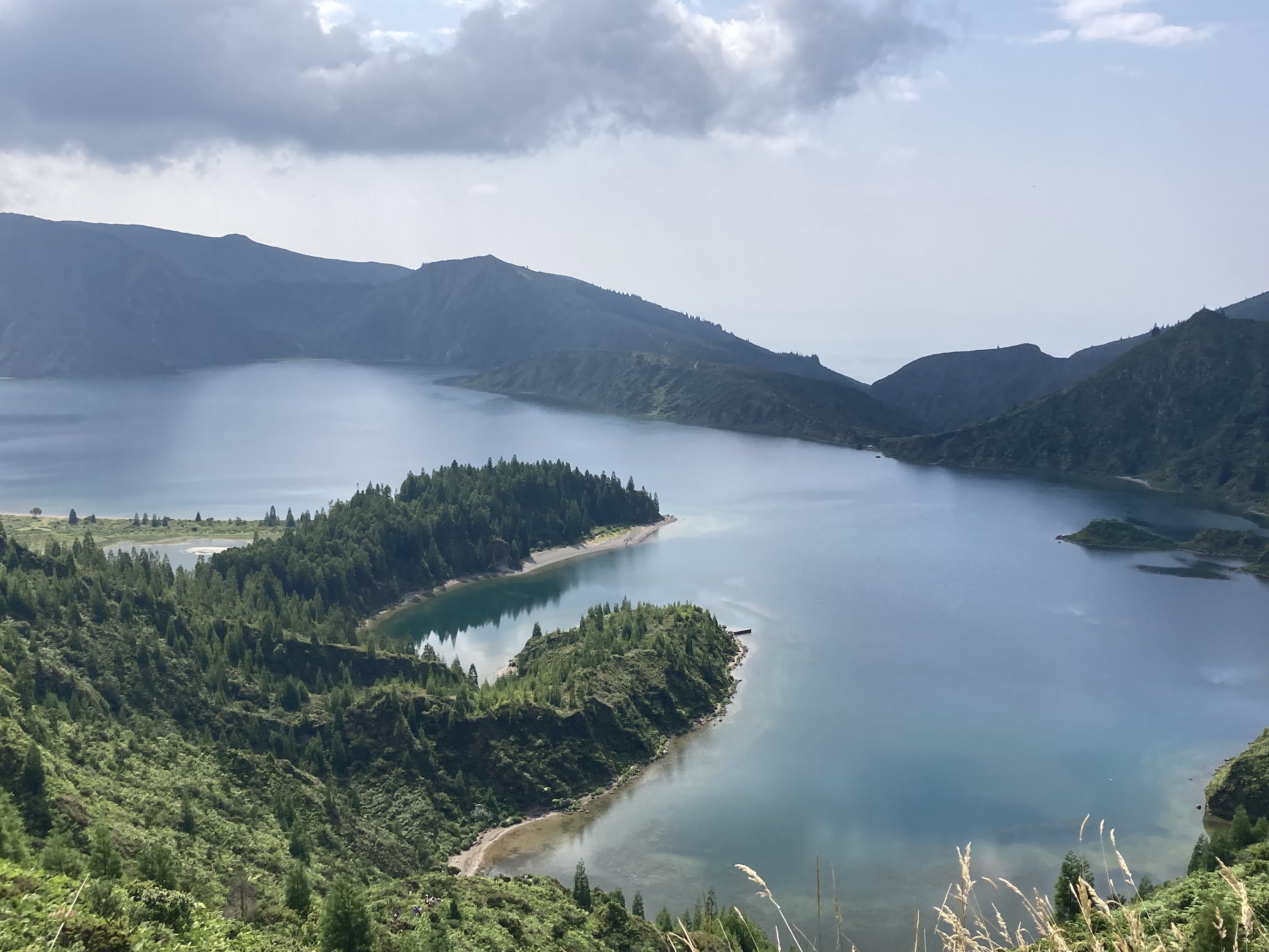
DHT PREMIUM GUIDE
A lake shaped by altitude, volcanoes and clouds
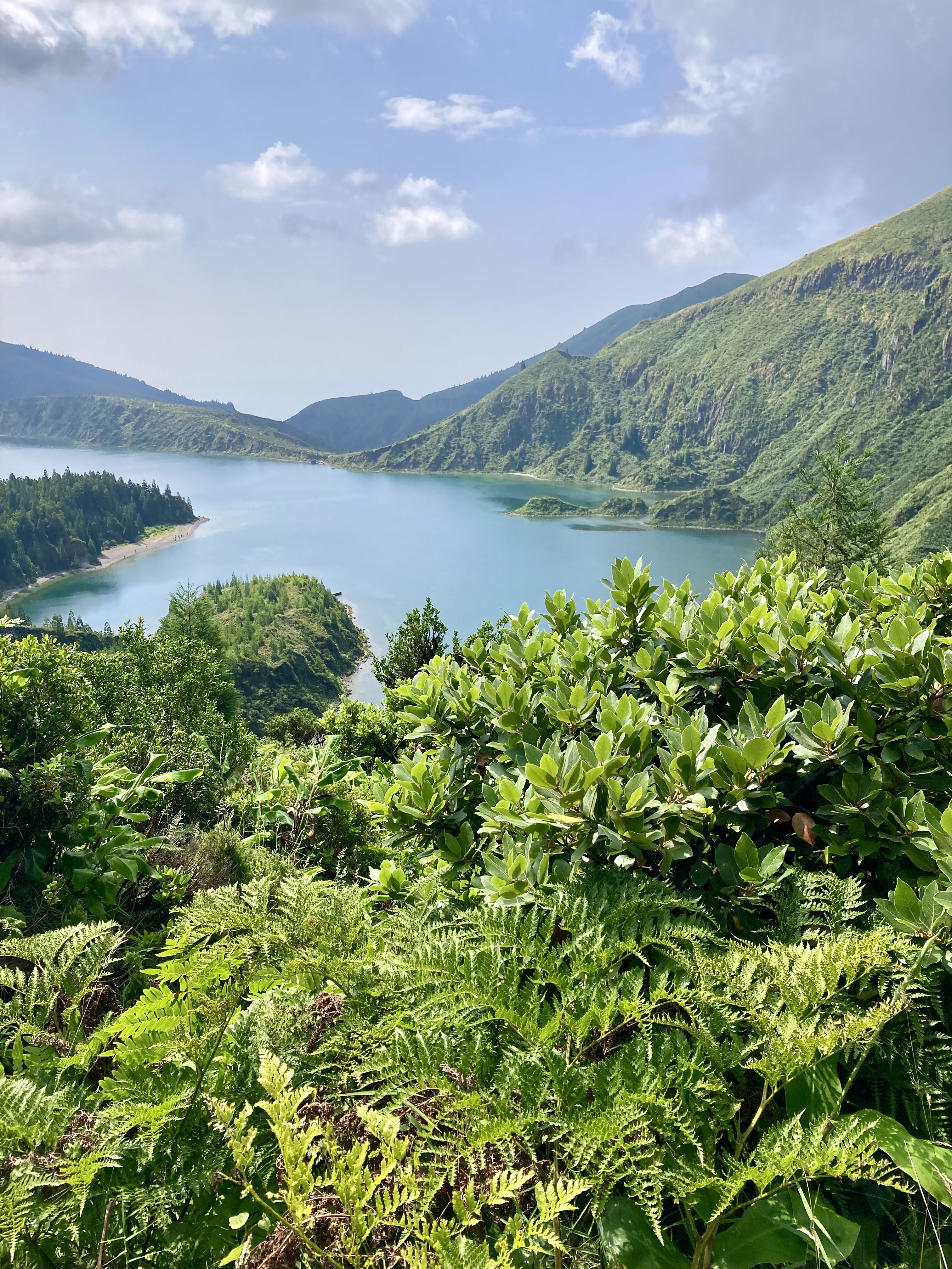
Lagoa do Fogo lies inside the collapse caldera of the Água de Pau volcanic massif. The present caldera formed around 15,000 years ago and is the youngest and smallest of São Miguel’s major calderas. Today the lake and its steep slopes, covered with protected vegetation, form one of the island’s most striking natural landscapes.
From the road, the classic view can be almost effortless. The walk down to the lake is a completely different experience: you leave the viewpoints behind, descend through vegetation and volcanic terrain, and eventually reach the shoreline. That difference is worth understanding before choosing how to visit.
If you hike down, prepare for the return
The official trail is around 10.6 km and takes roughly four hours, with a moderate rating. Good footwear and a waterproof layer are more useful here than an urban outfit, particularly after rain.
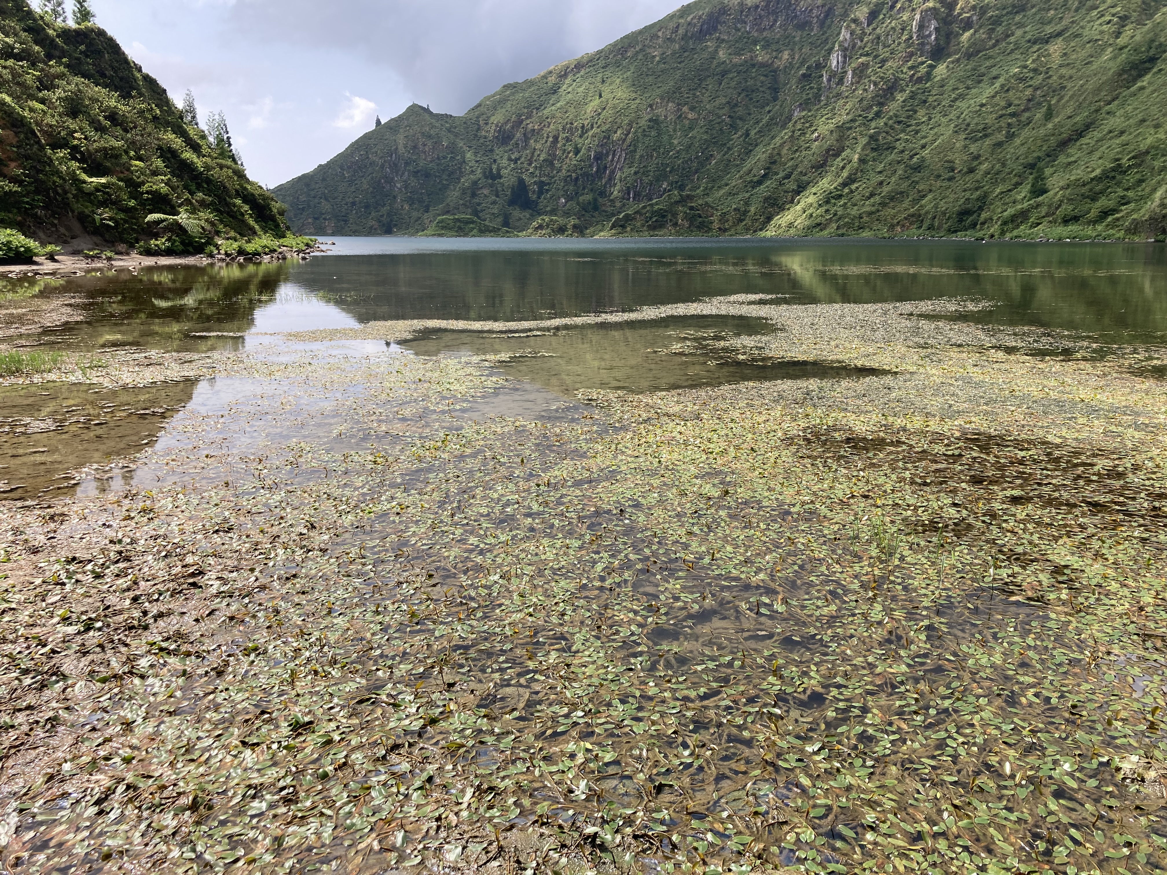
The descent changes the experience completely. You move from roadside viewpoints into vegetation and wooded sections before following the Ribeira da Praia towards the lake. The return is the part not to underestimate: what feels pleasantly downhill on the way in has to be climbed again.
The detail that can change your day
Checking the general weather in Ponta Delgada is not enough for Lagoa do Fogo. The main viewpoint is around 776 m above sea level, and clouds can cling to the massif while the coast is completely clear. You can therefore leave the coast under blue sky and find the lake hidden a few kilometres later.
During the summer period, road access for rental cars can also be subject to time restrictions under the rules in force. Check current local conditions and access arrangements before driving uphill rather than relying on an old travel post.
When to go and how much time to allow
For a viewpoint-only visit, an hour may be enough if visibility is good. If you want to hike down to the lake, allow at least half a day, with extra time for breaks and changing trail conditions.
The best moment is not simply a matter of season. High cloud is often decisive. Check the actual sky before going up and be willing to return later if the mountain has decided to keep its lake to itself.
What to remember before setting out
Lagoa do Fogo is a protected natural site, not somewhere to improvise a swim or a hike without preparation. Stay on the trails, carry water, protect yourself from wind and rain and check the trail conditions before leaving.
If photography is your main reason for going, keep a backup plan. A summit covered in cloud can make the drive disappointing. When the sky opens, however, a few minutes can transform the whole landscape.
Frequently asked questions
Can I reach the lake shore without a long hike?
The shore is reached by a proper walking route rather than a short stroll from the road. The official PR02SMI is around 10.6 km and four hours.
Is the Lagoa do Fogo hike difficult?
It is officially rated moderate. Mud, changing terrain and especially the uphill return are the parts to take seriously.
Why can the lake be hidden when Ponta Delgada is sunny?
The viewpoint is high in the massif, which creates local cloud conditions. The coast can be clear while Lagoa do Fogo is completely covered.
Should I check access restrictions before driving up?
Yes. Road access arrangements can vary by season and current regulations, so check official information on the day.
Is it suitable for young children?
A viewpoint visit is much easier. The hike to the lake is a different proposition because of distance, elevation change and potentially wet terrain.

MIGUEL™
Miguel™ — the decision engine designed for the Azores
Developed in-house by DHT Azores, Miguel™ was designed specifically around the realities of the archipelago. In the Azores, weather and local conditions can change quickly and completely alter the value of an outing during the day.
Miguel™ combines the available context, your preferences and the characteristics of each place to help you decide what to do, where to go and when to go. It is not simply a catalogue: it is a decision engine built for the Azores and their changing weather.
The weather changes. Your plans can too. Miguel™ helps you decide.
Discover Miguel™